


la roquebrussanne

chrifor
User
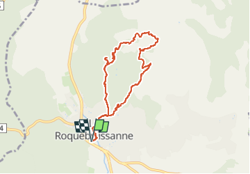

Length
8.6 km

Max alt
658 m

Uphill gradient
415 m
Km-Effort
14.1 km

Min alt
361 m

Downhill gradient
415 m
Boucle
Yes
Creation date :
2023-03-16 08:55:41.934
Updated on :
2023-03-16 16:13:12.878
3h15
Difficulty : Difficult

FREE GPS app for hiking
 SityTrail
IGN / Geographical institutes
SityTrail Plus
The world is yours!
About
Trail Walking of 8.6 km to be discovered at Provence-Alpes-Côte d'Azur, Var, La Roquebrussanne. This trail is proposed by chrifor.
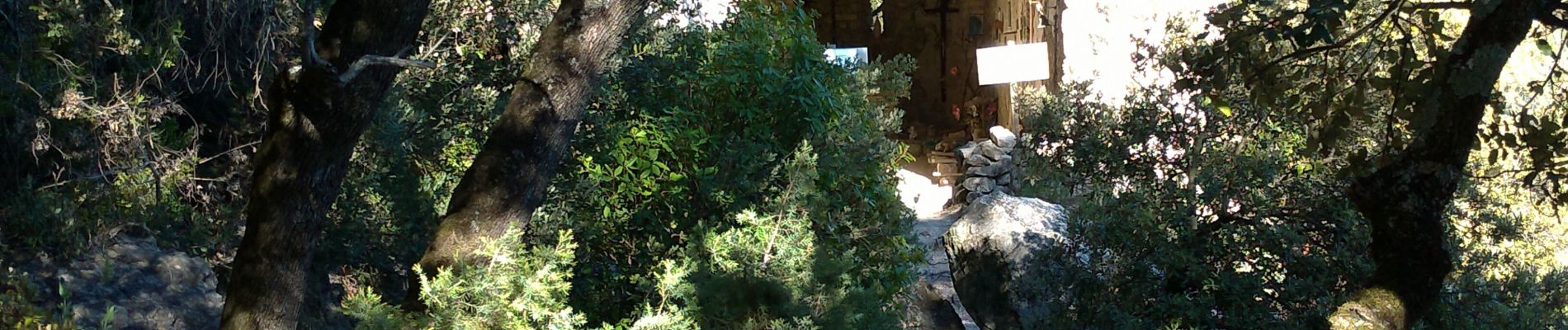
Photos


25 photos in total. Please click on a photo to see them all in the gallery.
Positioning
Country:
France
Region :
Provence-Alpes-Côte d'Azur
Department/Province :
Var
Municipality :
La Roquebrussanne
Location:
Unknown
Start:(Dec)
Start:(UTM)
741229 ; 4802654 (31T) N.
Comments